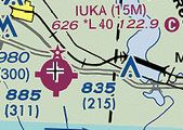
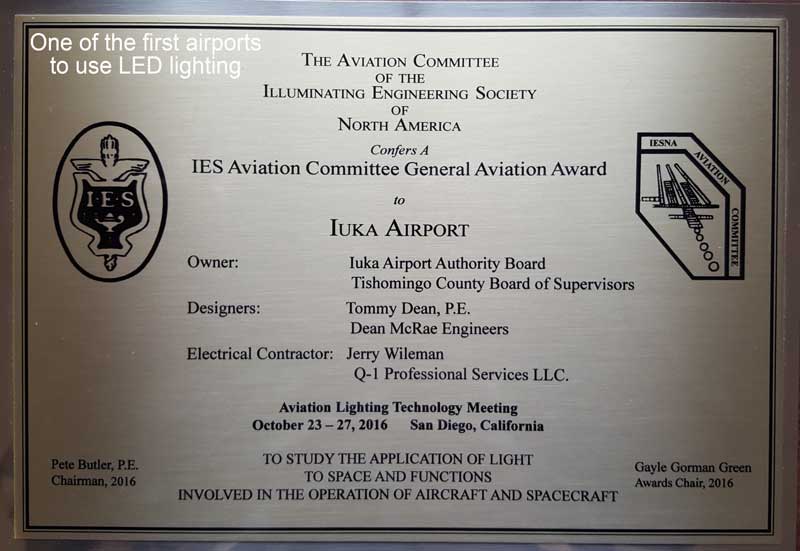
 IUKA AIRPORT (15M)
WELCOME
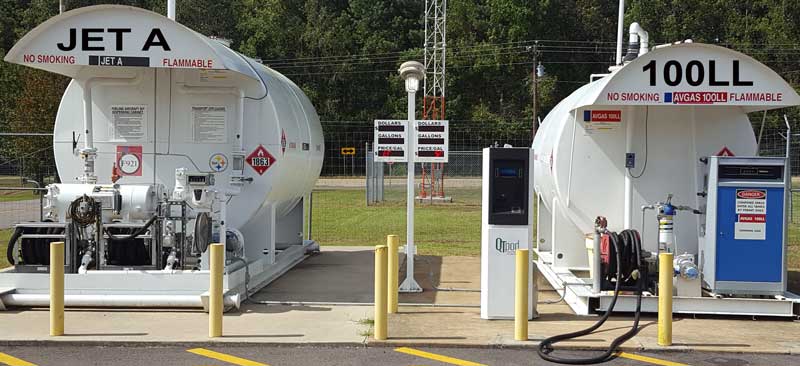
100LL available SS
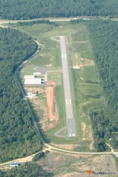
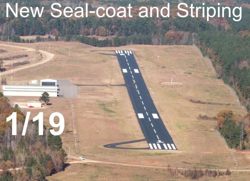
Runway 1/19 - 4000'
CTAF: 122.9 - AWOS: 119.25
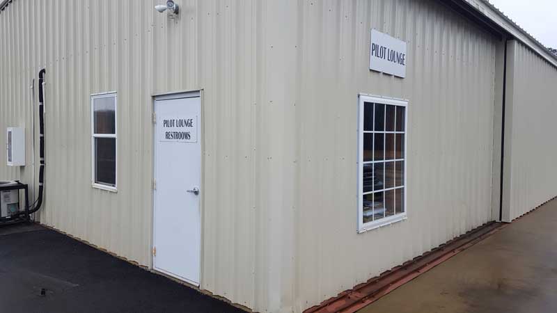
Restroom
Courtesy Car Available
NEW - GPS Approach
GPS Apporach